
Schenectady Neighbors Block Record Coverage
The records around a Schenectady address answer different questions. The city GIS layer supplies parcel shape, street, neighborhood, and map identifiers. Beacon assessment data can add the recorded owner, parcel location, tax mailing address, assessment values, and exemptions. County Clerk instruments document transfers and other recorded actions. Election tools are for district geography or a lawful match, not a map of people. Civic association pages publish contact and meeting routes, not private participant information.
| Source | What it can show around a block | Access route |
|---|---|---|
| City GIS parcel service | Parcel polygons, streets, boundaries, neighborhoods, coordinates, and map keys | Public map and REST query; connect keys to assessment data |
| Beacon assessment record | Recorded owner, situs, tax mailing address, values, exemptions, and parcel information | Public property route; result labels can change |
| County Clerk land records | Grantor, grantee, document type, recording date, and legal description | Free index; copy and image rules apply |
| Election district map | Address-to-district and polling-area geography | County interactive map, not a voter list |
| Neighborhood associations | Public civic contacts and meeting paths by area | City directory; no private participant list |
| Historical directory sources | Dated address clues and nearby names as printed for one year | Library and archive access; entries can be for an office or business |
Start with the map because it fixes the block and its parcel keys. Then decide if assessment, a recorded instrument, a civic contact, or a historical source is actually needed. A recorded owner and a tax mailing address are both useful facts, but neither is a full account of everyone present at that location.
If the online deed index does not reach the needed instrument, take the legal description and parcel details to the Schenectady County Clerk land-record route. For an older address clue, use the Schenectady County Public Library local-history resources, which include directories, census microfilm, newspapers, and atlases. A focused public-record request remains the fallback for city material without a searchable public index.
Map Schenectady Neighbors by Parcel
Use the City GIS as the spatial starting point. Its hosted parcel service supports address candidates, parcel fields, geometry, distance queries, ordering, and pagination. A map click can be enough for a simple block. When the boundary is unclear, a small distance query can identify nearby features without turning the process into a sweeping people search. The parcel geometry is a land record layer, not an identity record.
The City ArcGIS CityData service exposes the roads, parcels, neighborhoods, and boundary layers used for this first step.
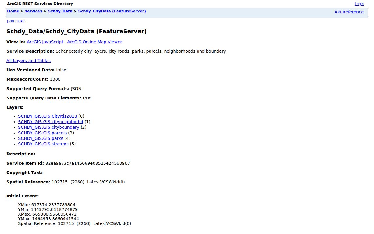
Once the target polygon is found, copy its print key, SWIS/SBL value, or section identifier. These keys make the next assessment or instrument search less dependent on a street spelling. For the wider sequence along a named street, use the Schenectady Street Directory rather than extending a block check into an unsupported claim.
- Geocode or find the target street address in the city map.
- Click the parcel and record the print key, SWIS/SBL, SECNO, and query date.
- Inspect only the polygons that share a boundary or fall within the needed small map area.
- Open each selected key in the assessment record, keeping parcel situs and tax mailing fields separate.
- Use the County Clerk index only when a dated transfer or legal-description check is needed.
Schenectady Neighbors Parcel Keys
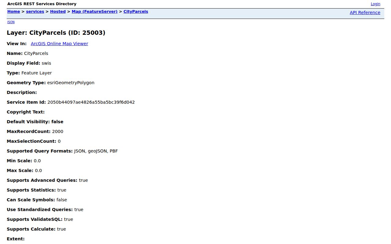
The hosted city parcel layer makes the technical bridge visible. Its published fields include fid, swis, print_key, secno, and swis_sbl, along with geometry, coordinates, and polygon measurements. These are map and assessment identifiers. Owner name, mailing address, assessed value, exemption, and sketch information are not exposed in the layer schema and must not be inferred from a polygon alone.
The hosted Schenectady parcel layer is the source for those keys and its query capabilities.
Open the matching key in Beacon to inspect the public assessment fields. Treat the assessment result as a snapshot. The county warns that map and property data can update on different schedules, so record the date and compare a later deed only as a separate dated source.
- Print key
- An assessment or parcel key used to connect a GIS feature with the property system.
- SWIS/SBL
- A municipal and section-block-lot style identifier used in local mapping and assessment work.
- Legal description
- The lot, map, or boundary description carried in a recorded instrument. It can be steadier than a changing street number.
Note: A parcel boundary supports a land-location check, while the assessment record and recorded instrument answer separate owner and transfer questions.
Schenectady Neighbors Association Contacts
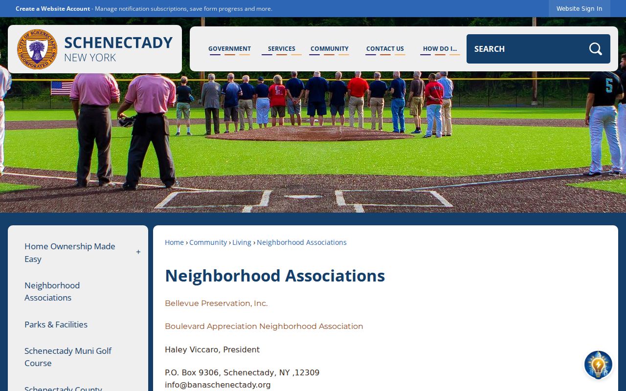
The city association directory is a useful community layer when the goal is a public meeting route or a local civic contact. It names groups across Bellevue, Boulevard, Central State, Downtown, Eastern Avenue, GE Realty Plot, Goose Hill, Hamilton Hill, Engine Hill and Mont Pleasant, Stockade, Upper Union, Woodlawn, and other areas. Each group has different contact details and schedules. The city directory is explicit about civic contacts, not private lists of people connected with a group.
The City of Schenectady neighborhood-association directory is the source for the contacts and meeting details below.
Use these public routes to ask about a meeting, a neighborhood concern, or a civic project. Do not treat a group name, meeting location, or published contact as evidence that any named individual lives nearby.
| Area group | Public contact or meeting route |
|---|---|
| Boulevard Appreciation | info@banaschenectady.org, P.O. Box 9306, Schenectady 12309; bi-monthly meetings. |
| Goose Hill | The city directory lists public email and phone contacts plus last-Thursday meetings from September through June at Steinmetz Park. |
| Hamilton Hill | The city directory lists a public contact and first-Thursday meetings at Electric City Barn. |
| Stockade | 32 Washington Avenue, Suite 100, phone 518-217-5666; selected third-Thursday meetings. |
| Upper Union | The city directory gives public email and phone contacts with last-Tuesday meetings, except December, July, and August. |
| Woodlawn | Fourth-Wednesday meetings, except July, August, and December, as listed by the city. |
Schenectady Neighbors and Voter Records
Election records should stay in their narrow lane. The county’s election-district map can connect an address to a district or polling-area boundary. The state voter tool is a person-match form that uses county, name, date of birth, and ZIP. It is not a public mode for browsing a block. Names and residence addresses can appear in annual district lists under board supervision, but identifying numbers are withheld and voter-data requests carry election-purpose limits.
For a geographic check, use the Schenectady County election-district map. For an individual’s own registration confirmation, use the state tool in the panel. If a lawful annual-list request is necessary, contact the Board of Elections first about current format, fees, and eligibility. Do not use an election record to work around a confidential voter registration.
Schenectady Neighbors Review Layers
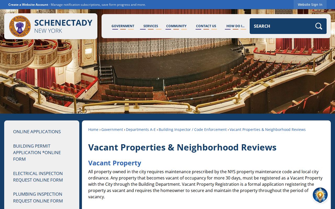
The city’s Neighborhood Condition Reviews add a civic, address-keyed layer. They are block-by-block reviews involving Police, Fire, Property Maintenance, and Building functions. That can help someone understand a public neighborhood-review process or follow a property condition question. It is not a directory of people. The city also has a Neighborhood Watch join route and reports a long local history of meetings and patrols, without making private participant information public.
The vacant-property and neighborhood-review page describes this city process.
For a historical permit or code record that is not online, name the address, record type, date range, and desired inspection or copy method in a City FOIL request. The city allows anonymous code complaints, which is another reason a complaint record must not be treated as proof that a person lives at an address.
Schenectady Neighbors Official Record Comparison
Official records and compiled neighbor tools do not carry the same weight. An official source has a defined custodian, date, field set, and access rule. A compiled commercial result can be a lead, but it may merge same-name people, carry stale addresses, omit protected records, or mix unrelated information. Compare any lead with the GIS, assessment, land-record, voter, historical, or civic source that actually fits the question.
| Source category | Best use | Limit to keep in view |
|---|---|---|
| City GIS and assessment | Locate a parcel and review dated public property fields | Geometry and recorded-owner fields do not identify every person at the location |
| County land records | Check a transfer, instrument party, or legal description | A recording trail is not a current-person directory |
| Election and civic sources | Confirm a district or reach a public civic contact | Use and disclosure limits remain in force |
| Compiled commercial category | Generate a lead for later verification | May be stale, inaccurate, or joined across different people |
Schenectady Neighbor Geography
Schenectady’s official profiles identify ten connected neighborhoods: Hamilton Hill and Vale, Mont Pleasant, Woodlawn, Union Street, Northside and Goose Hill, Bellevue, Central State, Downtown, Eastern Avenue, and the Stockade. The current Consolidated Plan notes that small-area statistics are built from the closest aligned Census tracts. A neighborhood label is useful map context, but it is not a parcel-level fact and it does not replace the city GIS boundary layer.
The 2025-29 city Consolidated Plan supplies the current profile framework. It also supports a practical rule for Schenectady neighbors research: use the map for the parcel, the assessment system for the property record, and a public association contact for civic access. Keep those geography layers separate rather than treating a postal or planning label as a person record.
Note: A neighborhood name can give useful local context, but the city cautions that small-area statistics are estimates rather than parcel measurements.
Schenectady Neighbor Privacy Boundaries
Some data is not a public block resource. Utility customer information, delivery information, protected addresses, confidential voter records, sealed court material, and private association information remain outside a lawful neighbor check. The New York Address Confidentiality Program uses a substitute mailing address and mail forwarding for qualifying participants. Its confidential-voter route is a direct reminder that an expected address may properly be absent from ordinary public results.
Lawful use. Use Schenectady neighbor records for a limited, lawful personal purpose. Do not stalk, harass, threaten, repeatedly contact, or publish protected information about another person.
If an official record appears wrong or exposes protected information, preserve the source and date, do not redistribute it, and contact the custodian. The city map, a tax mailing field, and a historical directory each have different correction paths. Respecting those limits is more important than assembling a longer list of names around an address.